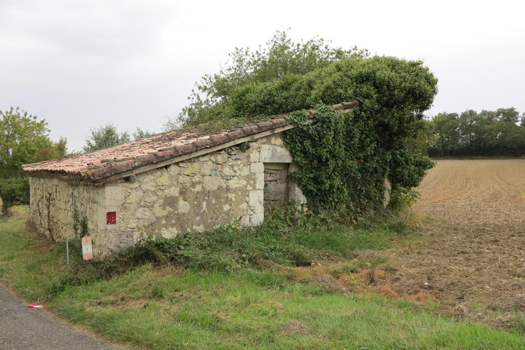
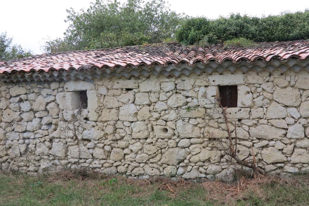
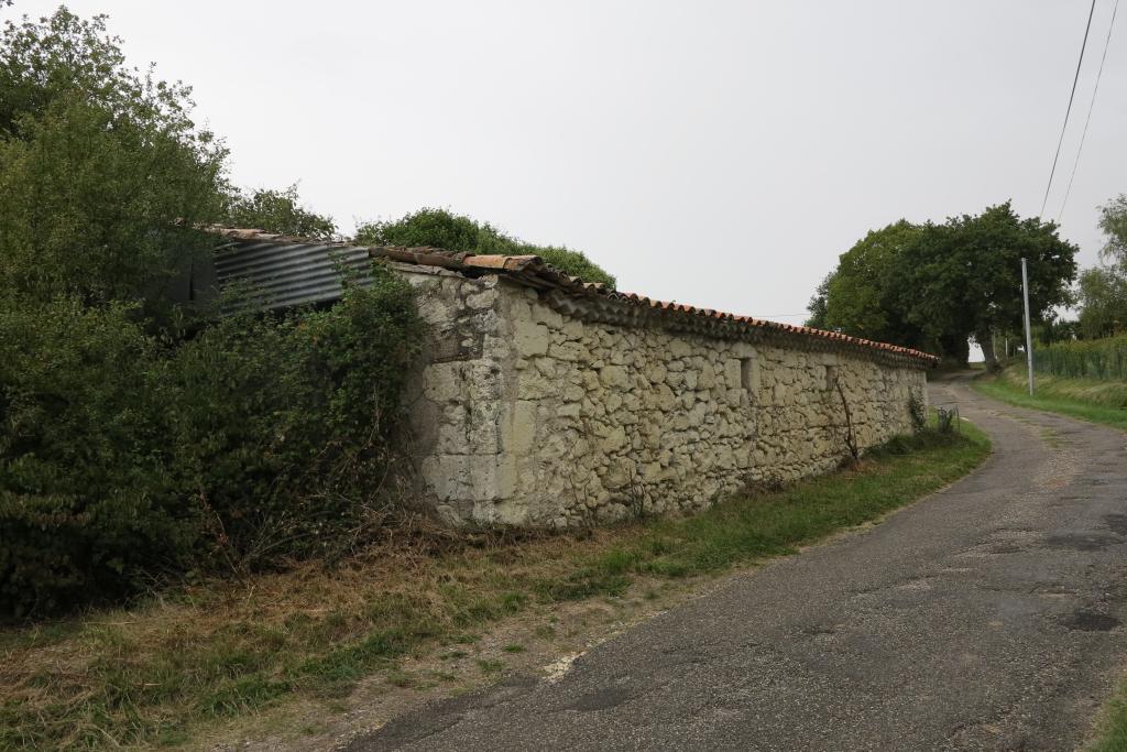
Cette remise agricole pourrait dater du 18e siècle.
Dossier d’œuvre architecture IA32001255
| Réalisé par
- inventaire topographique
remise agricole
Œuvre repérée
Auteur
Copyright
- (c) Ville de Lectoure
- (c) Inventaire général Région Occitanie
Dossier non géolocalisé
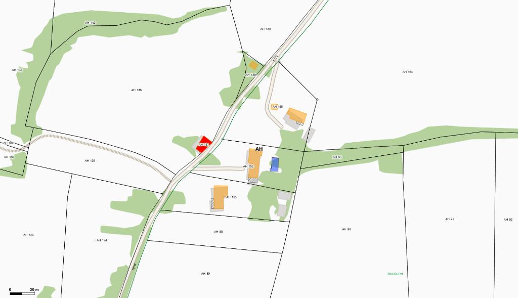
Localisation
-
Aire d'étude et canton
Lectoure
-
Commune
Lectoure
-
Lieu-dit
au Dine
-
Cadastre
2017
AH
137
-
Dénominationsremise agricole
-
Période(s)
- Principale : 18e siècle
La remise agricole est située en bordure de route, dans un champ.
-
Murs
- calcaire
- moellon
-
Toitstuile creuse
Champs annexes au dossier - Architecture
- NOTB_G
- NOTB_S
- APPA
- APRO
- ARCHEO
- AVIS
- CCOM
- CHARP
- CHARPP
- COORLB93
- COORMLB93
- COORMWGS84
- COORWGS84
- ENCA
- EPID
- ESSENT
- ETACT
- FEN
- FEN2
- FENP
- INTER
- MHPP
- NOPC
- OBSV
- PAVIS
- PETA_MA
- PLU
- PSAV_FA
- SAV_FA
- SELECT oeuvre repérée
- TAILL
- TAILLP
- TOITU
- USER IVR73_SCPMIDIPYR
- VALID accessible au grand public
- VISI
- VISIB
- VOIR_AUSSI
- WCOM
- IMP 20230710_R_01
-
Statut de la propriétépropriété privée
-
Sites de protectionzone de protection du patrimoine architectural urbain et paysager
- (c) Ville de Lectoure
- (c) Inventaire général Région Occitanie
- (c) Ville de Lectoure
- (c) Inventaire général Région Occitanie
- (c) Ville de Lectoure
- (c) Inventaire général Région Occitanie
- (c) Ville de Lectoure
- (c) Inventaire général Région Occitanie
Date(s) d'enquête :
1979;
Date(s) de rédaction :
2018
(c) Ville de Lectoure
(c) Inventaire général Région Occitanie